Rest Areas with Accessible Facilities
Rest areas are provided by the Department of Transportation to offer a stopping place for travelers to take a short break from driving, relax, have a snack, or use the restroom. Many of these rest areas are managed by Oregon Travel Information Council. All of the Department's Interstate rest areas and most of our rest areas on other highways are ADA accessible. Other features may include picnic tables, drinking water, traveler information and vending machines. Please help keep these rest areas available to all by using them as they are intended, and by following the posted rest area rules.
To supplement the Department's rest areas, arrangements have been made with other entities to provide additional rest opportunities for travelers. The features of these other rest opportunities, as well as their rules of use may vary based on the site however they all have restrooms and are available at no charge.
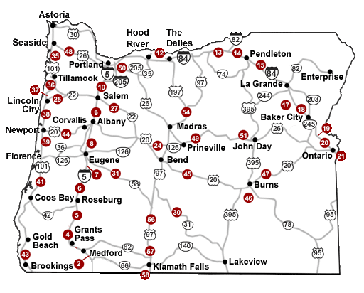
The rest areas managed by Oregon Travel Information Council and the entity that provides the other rest opportunities are noted below. This list is organized by highway; the number to the left refers back to the map for location reference. To confirm the current status of park facilities, check the OPRD webpage at: https://stateparks.oregon.gov/index.cfm?do=v.dsp_parkstatus
ODOT accessibility information can be found at our Accessibility Requests and ADA Program pages.
|
I-5 |
|
|---|---|
|
Siskiyou - Northbound Access Only (Note: Commercial vehicles over 20,000 GVW prohibited) |
Suncrest - Southbound Access Only |
|
Manzanita - Northbound and Southbound Access |
|
|
Jordan Creek - Northbound and Southbound Access |
|
|
Cabin Creek - Northbound and Southbound Access |
|
|
Gettings Creek - Northbound and Southbound Access |
|
|
Oak Grove - Northbound and Southbound Access |
|
|
Santiam River - Northbound and Southbound Access |
|
|
French Prairie (Baldock) - Northbound and Southbound Access |
I-84 |
|
Memaloose - Eastbound and Westbound Access |
|
|
Boardman - Eastbound and Westbound Access |
|
|
Stanfield - Eastbound and Westbound Access |
|
|
Deadman Pass - Eastbound and Westbound Access |
|
|
Charles Reynolds - Eastbound and Westbound Access |
|
|
Baker Valley - Eastbound and Westbound Access |
|
|
Weatherby - Eastbound and Westbound Access |
|
|
Ontario State Park - Eastbound and Westbound Access |
|
|
Ontario - Westbound Access Only |
OR126 |
|
Cline Falls State Park - Eastbound and Westbound Access |
OR18 |
|
Van Duzer Corridor State Park - Eastbound and Westbound Access |
OR22 |
|
The Maples - Eastbound and Westbound Access |
OR31 |
|
Summer Lake - Northbound and Southbound Access |
OR58 |
|
Greenwater Rec Area - Eastbound and Westbound Access |
US101 |
|
Oswald West State Park - Northbound and Southbound Access |
|
|
Tillamook River - Northbound and Southbound Access |
|
|
Neskowin State Park - Northbound and Southbound Access |
|
|
Boiler Bay State Park - Northbound and Southbound Access |
|
|
Driftwood State Park - Northbound and Southbound Access |
|
|
William Tugman State Park - Northbound and Southbound Access |
|
|
Harris Beach State Park - Northbound and Southbound Access |
US20 |
|
Ellmaker Wayside State Park - Eastbound and Westbound Access |
|
|
Brothers Oasis - Eastbound and Westbound Access |
|
|
Sage Hen - Eastbound and Westbound Access |
|
|
Buchanan Springs - Eastbound and Westbound Access |
US26 |
|
Sunset - Eastbound and Westbound Access |
|
|
Bandit Springs - Eastbound and Westbound Access |
|
|
Government Camp - Eastbound and Westbound Access |
|
|
Clyde Holiday State Park - Eastbound and Westbound Access |
US97 |
|
Cow Canyon - Northbound and Southbound Access |
|
|
Beaver Marsh - Northbound and Southbound Access |
|
|
Collier State Park - Northbound and Southbound Access |
|
|
Midland - Northbound and Southbound Access |